Products
gnss receiver GNSS gps surveying equipment rtk gps 1408 channels foif A90 base and rover

gnss receiver GNSS gps surveying equipment rtk gps 1408 channels foif A90 base and rover

FOB Reference Price: Get Latest Price
≥1 Sets
US $2000
≥2 Sets
US $1900
≥5 Sets
US $1800
Free Inquiry
Customized Request
  • Product Details
  • {{item.text}}

Quick Details

Channels:
1408 Channels
GPS:
L1 C/A, L2E, L1C, L2C, L5
GLONASS:
L1 C/A, L2 C/A, L3 CDMA
BeiDou:
B1I, B2I, B3I,B1C,B2a,B2b, ACEBOC
GALILEO:
E1, E5A,E5b, E5AltBOC, E6
QZSS:
L1 C/A, L1 SAIF,L1C, L2C, L5, LEX
IRNSS:
L5
SBAS:
L1C/A, L5
Tilt survey:
60 degrees

Quick Details

Warranty:
1 year
Place of Origin:
Tianjin, China
Brand Name:
FOIF
Channels:
1408 Channels
GPS:
L1 C/A, L2E, L1C, L2C, L5
GLONASS:
L1 C/A, L2 C/A, L3 CDMA
BeiDou:
B1I, B2I, B3I,B1C,B2a,B2b, ACEBOC
GALILEO:
E1, E5A,E5b, E5AltBOC, E6
QZSS:
L1 C/A, L1 SAIF,L1C, L2C, L5, LEX
IRNSS:
L5
SBAS:
L1C/A, L5
Tilt survey:
60 degrees
Recommend Products
Product Description

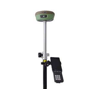
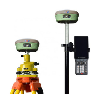
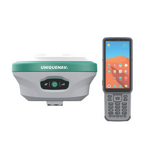
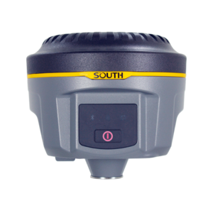
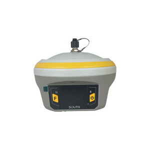
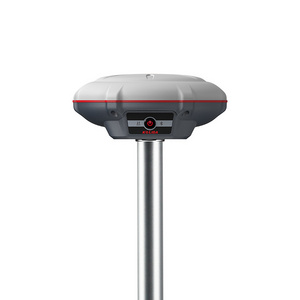
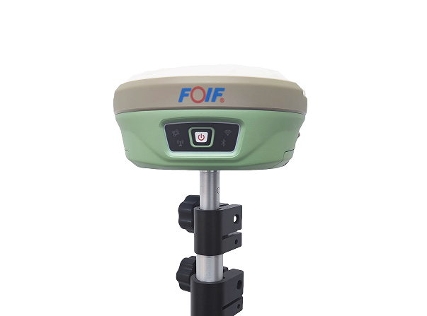
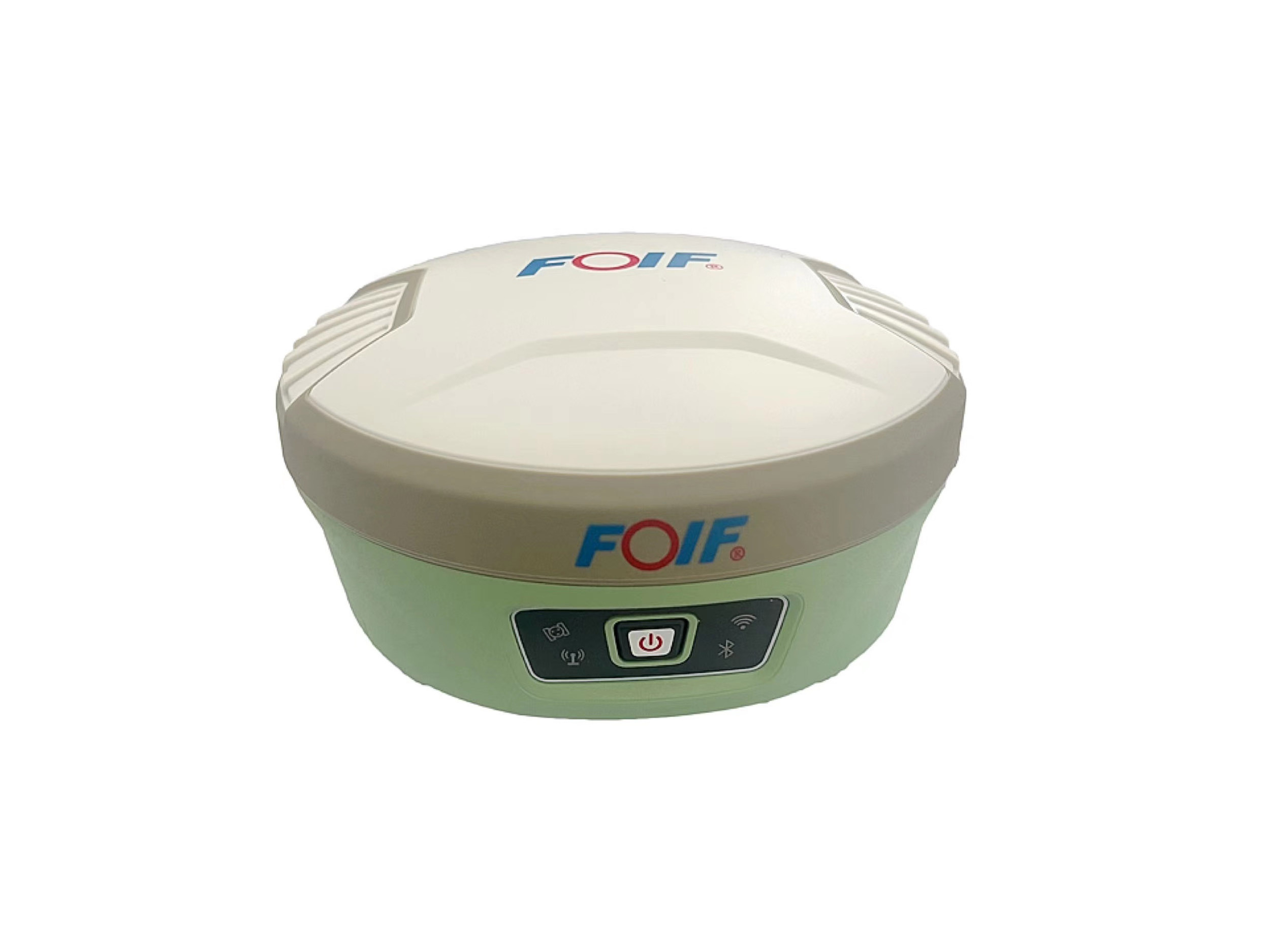
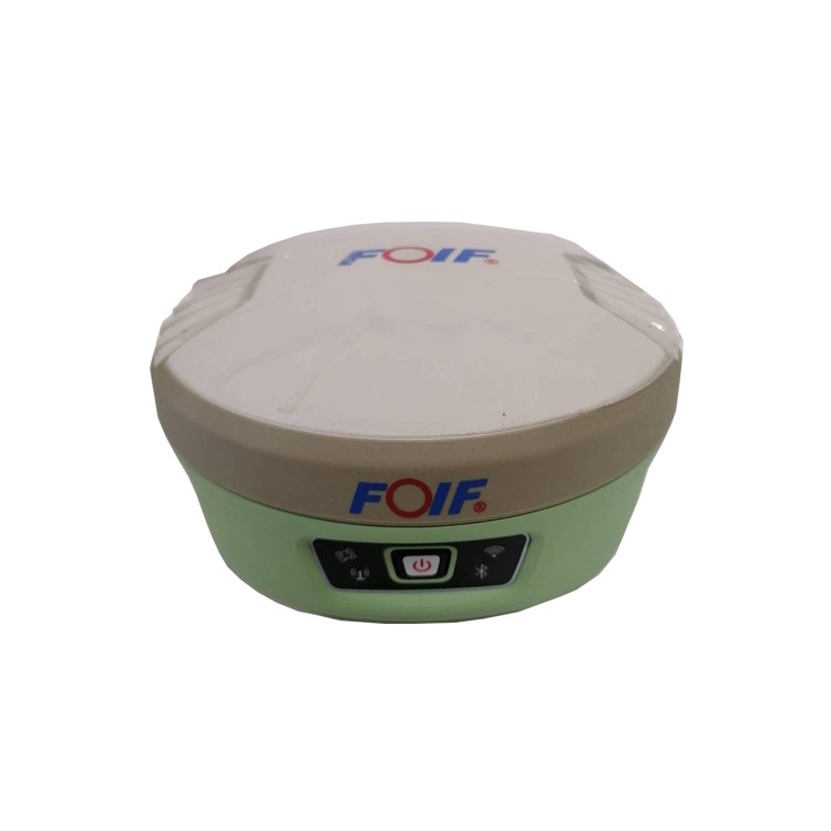
● Compact design, more productive
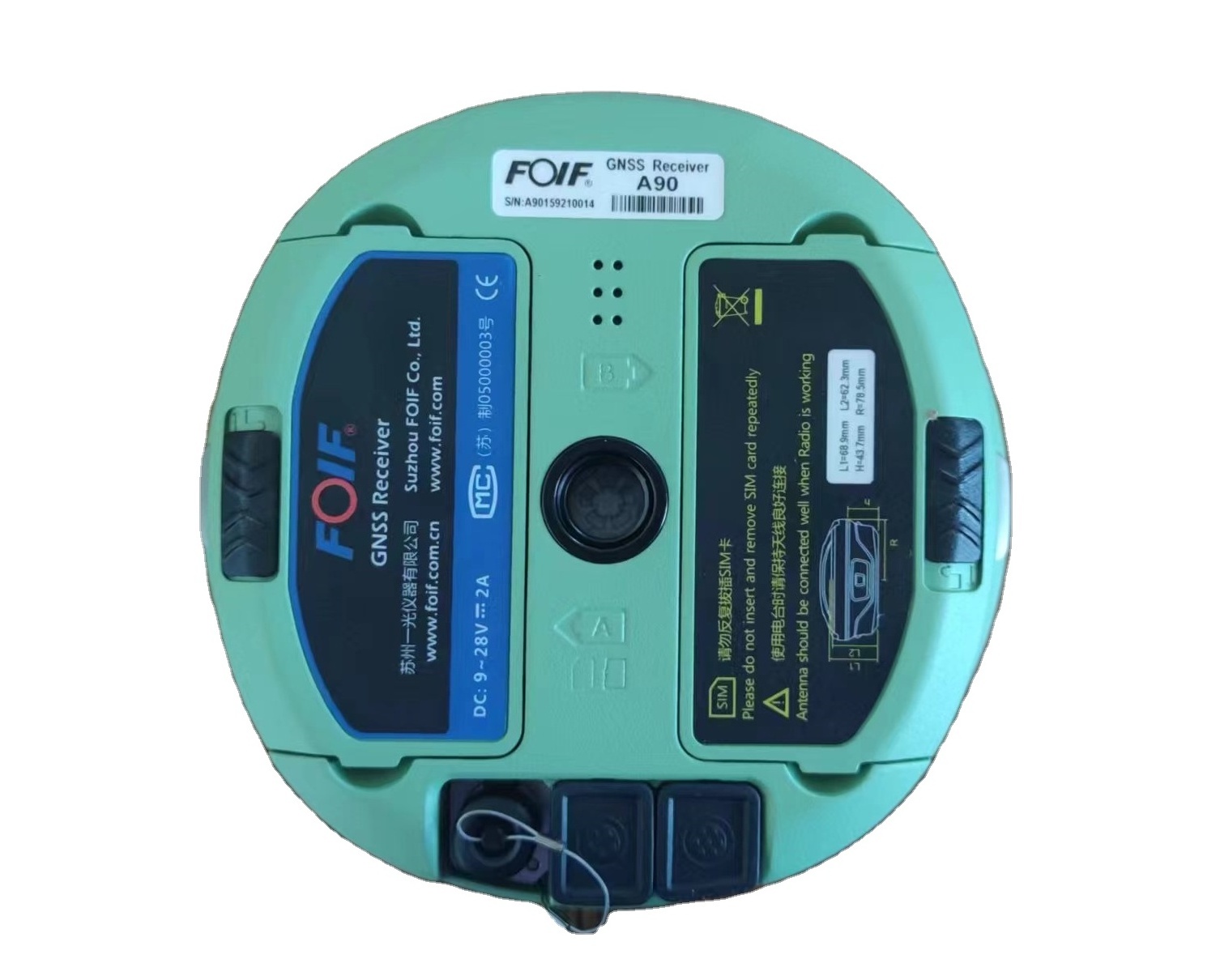
● Professional GNSS satellites tracked simultaneously(GPS, Glonass, Galileo, Beidou)
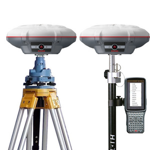
● Automatic data collection during centering
● It has IUM function. When the pole is tilted in 60 degrees, it still could get the right point data by automatic correct system.
● Applies WIFI connection to realize WebUI control designed to modify settings and monitor the receiver status
● Bundled Android field software brings a big change in user experience and accessibility
Detailed Images
Items
Specification


GNSS Engine
Model
A90
Channel
1408 channels


Satellites
GPS: L1C/A, L2E, L2C, L5
GLONASS: L1C/A, L2 C/A, L3, CDMA
BeiDou: B1I, B2I, B3I,B1C, B2a,B2b, ACEBOC
Galileo: E1, E5 AltBOC, E5A, E5B, E6
NavlC (IRNSS): L5
SBAS: L1C/A, L5
QZSS: L1C/A, L1 SAIF, L1C, L2C, L5, LEX
IMU function
tilt survey 60 degree


Performance Specifications

Time to First Fix
Cold Start: <45 seconds
Warm Start: <30 seconds
Signal Re-acquisition:<2 seconds


RTK Initialization time
Typically <8 seconds
RTK Initialization Reliability >99.9%
Position Latency: <20ms

Receiver Accuracy
Static post processing accuracy
Horizon: ±( 2.5+1*10"D) mm; Vertical: ±( 5+1*10"D) mm
RTK Positiong accuracy
Horizon: ±( 8+1*10"D) mm; Vertical: ±( 15+1*10"D) mm
Code different positioning accuracy
0.45m
Single point positioning
1.5m


System
Operating system
Based on Linux, support Web UI
Memory
8G ,supports extending 32GB
Voice
Multi language support
Wi-Fi
IEEE 802.11 b/g/n
Blue Tooth
V2.1+EDR/V4.1Dual,Class2
Network
4G-LTE, TE-SCDMA, CDMA(EVDO 2000), WCDMA, GSM(GPRS)

Power
7.2V 6800mAh , removable battery
over 13 hours when simultaneous use of 2 batteries


Physical
Button
1 Power Button
Indication Light
4 Indication Lights
Size
Φ156mm * H 76mm
Weight
1.2kg

I/O Interface
TNC port
connecting built-in radio antenna
5-pin lemo port
connecting external power supply and external radio
7-pin lemo port
(USB+serial port): connecting PC and handheld


Environmental
Operating temperature
-30℃ to +65℃(-22°F to +149°F)
Storage temperature
-40℃ to +80℃(-40°F to +176°F)
Humidity
100% condensing
Waterproof
IP68

Shock
2m (6.56ft) pole drop
1.2m (3.94ft) free drop
APP
Post My RFQ
WhatsApp
+86-17326049340